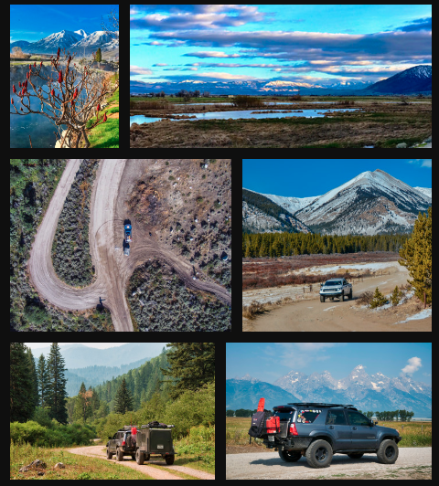
Last May at Overland Expo WEST, Hema Maps launched their Hema Explorer North America mapping app for iOS + Android. Along with the Hema Cloud, the app promises to be the solution many of us have been waiting for: a single place for off-road/overland enthusiasts to plan, track, log, and share our vehicle based adventures. Part of the Hema Maps launch campaign included a very ambitious expedition to take their well-outfitted 2011 Twin Turbo-Diesel 200 Series Land Cruiser from the Mexican border to the Arctic Ocean, following the continental divide the entire way.
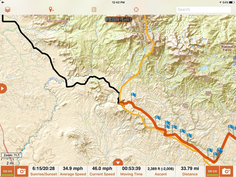
Team Williams (myself, my better half Angie, along with Brenden (6) and Alana (3)) drew the card to cover the route from Northern Colorado through Wyoming to Southern Montana. Over 1,100 miles, mostly on dirt, in about 6 days. For most people interested in our industry, this sounds kind of like a dream vacation. The reality is that this type of expedition offers so much more than a dream vacation. Mapping a route that thousands of people will rely on for years to come is without a doubt an honor, but that doesn't mean it's always easy.
Day 0: Let's get out of here!
"Southern Colorado will experience a multi-day monsoon that's very uncommon".
The weather report was not encouraging as we started north on Day 0. Our first mission was to drop off a vehicle at Denver International Airport so we would have a ride home after flying back from Montana. Pulling the Adventure Trailer setup with the Land Cruiser (LC), I followed Angie to the car-park, then we headed for the hills.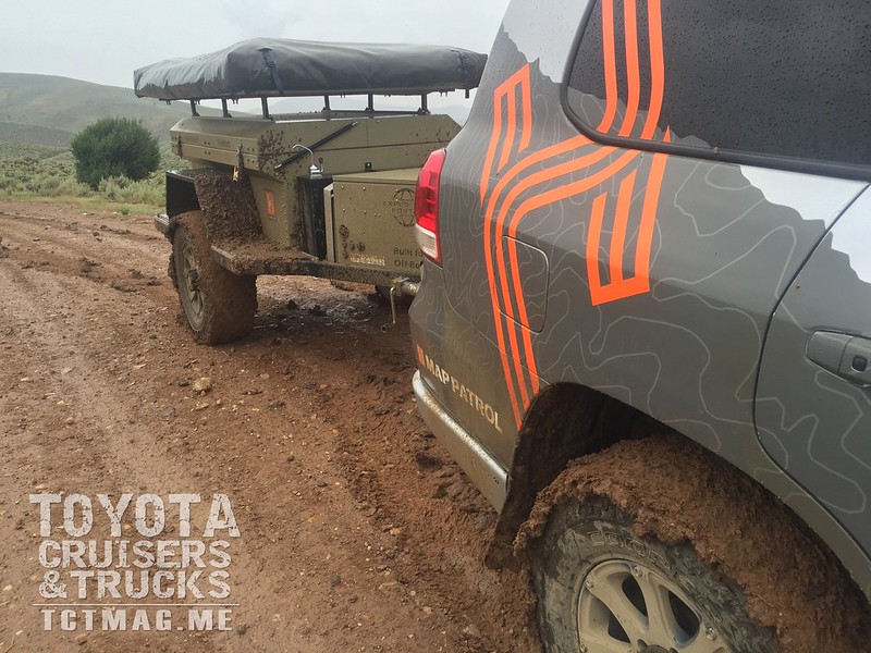
Our route for the first day was going to be a long one no matter what: Drive from Denver on highways over Berthoud Pass, then toward Kremmling, CO. Hit the dirt over the Continental Divide (CD) and camp somewhere outside Steamboat Springs.
3.5 hours into the journey, we finally hit dirt under a thick layer of clouds. Rain was threatening, but so far everything was dry. We made it about 20 miles into the mountains, not 5 miles from the CD when the light rain began. We've all explored various terrain when wet, and while a little more caution is necessary, it's not usually an issue. Our caution went out the window when the AT trailer started going sideways in the super-slick clay-like mud. Literally in 4 minutes of driving, the trail we were on became wet, dangerous, and impassable.
The reality for Day 0 was simple: Don't wreck the Hema Map Patrol rig and put Team Williams in danger on the first day (or the last day for that matter). After perhaps the most stressful 30 minutes of my off-road career, we managed to get out of the mud with everything intact. We ended up missing about 65 miles of dirt along the divide, but made it to a hotel in Steamboat Springs safe and sound.
Day 1: Well...that was interesting
We awoke to a little fog, but no more rain. Having made our goal for Steamboat Springs, we pointed the Land Cruiser north and headed out of town. The route on dirt from Northern Colorado into Southern Wyoming was very pleasantly uneventful, and soon we found our way into the great wide open of the southern WY plains. Clear skies, not too much wind, and a goal to cross the divide at Bridger Pass, WY were all accomplished without issue. We managed to find a "private" reservoir on BLM land (Teton Reservoir, as it turns out) for a near perfect first campsite in Wyoming.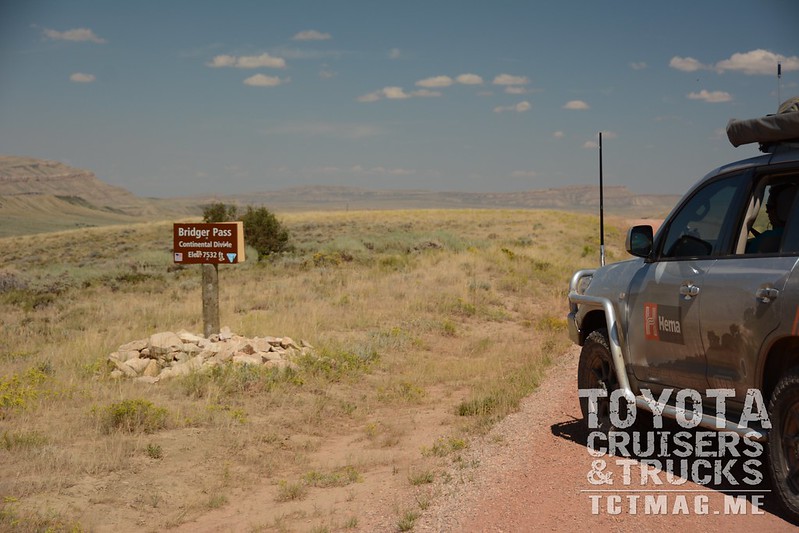

Day 2: Across. Wyoming.
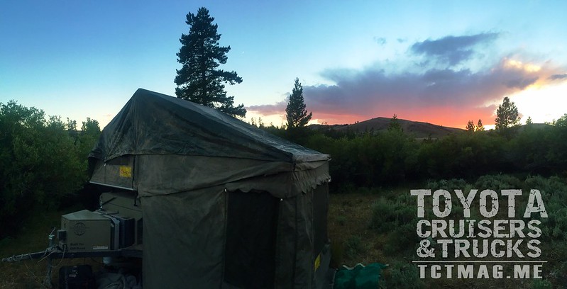
Our route across the plains of Wyoming ended up being a bit of a zig-zag in an effort to mirror the CD as much as possible. Talk about deserted! For more hours than we care to discuss, we pushed the LC + AT Trailer first northeast, then northwest through long tracks of dirt and silt that would make any Aussie proud. We finally landed at an open area BLM campsite just outside Atlantic City, WY. Along with neighboring South Pass City, Atlantic City holds quite a bit of history: this location is where the Pony Express, Mormon Trail, and Oregon Trail converge.
Day 3: Still in Wyoming.
An early trip to visit the well preserved South Pass City ghost town started the day off with a great sense of history. The reason historical trails converged in this area is simple: it's the lowest elevation (easiest) way to cross the CD when on horseback and covered wagons. This also means that the area isn't necessarily the most exciting for those looking for an amazing overland adventure. Still, it was great to think about the thousands of early settlers that battled their way through the area.
A full (second) day of crossing the wide open Wyoming plains started well, but ended in disappointment. We arrived in Pinedale, Wyoming ready to tackle another amazing CD mountain pass but instead were stopped by a heavy drizzle of rain. Further investigation revealed that while we had a rain, on the other side of Union Pass a fire had closed all the forest roads. We would have to spend the night in Pinedale.
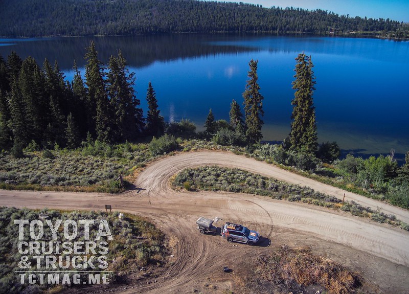
Make sure you read the Winter 2017 Issue of Toyota Cruisers & Trucks for the last three days of our Hema Map Patrol Trip. You don’t want to miss it!
UPDATE: Hema Map Patrol Part 2 is online!
To get your copy of the
Fall 2016 Issue:


