Day 5: The National Parks
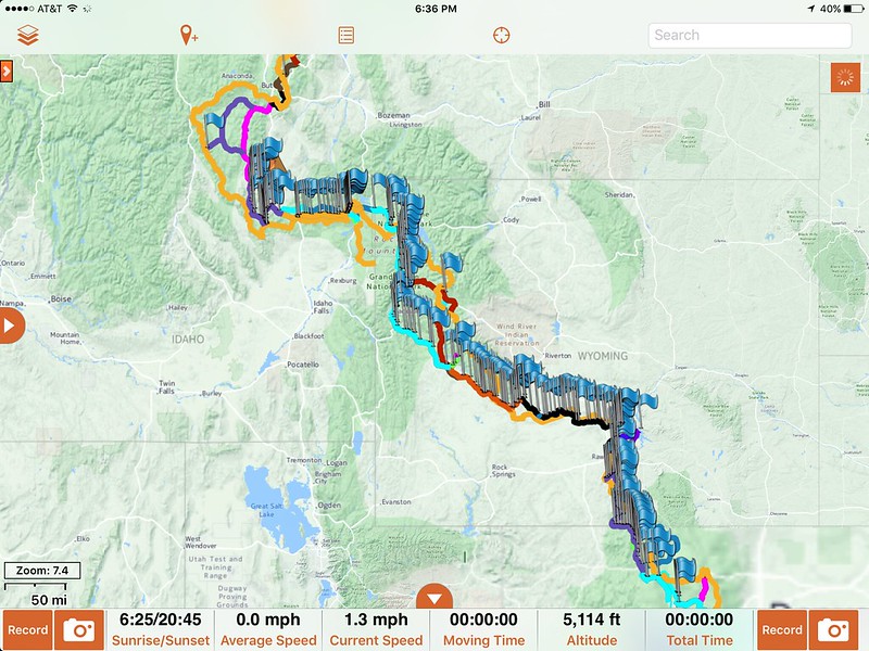
Day 5 began bright and sunny, so even though we couldn't get over the pass, we decided to explore the Pinedale area before hitting pavement toward Grand Teton and Yellowstone National Parks.
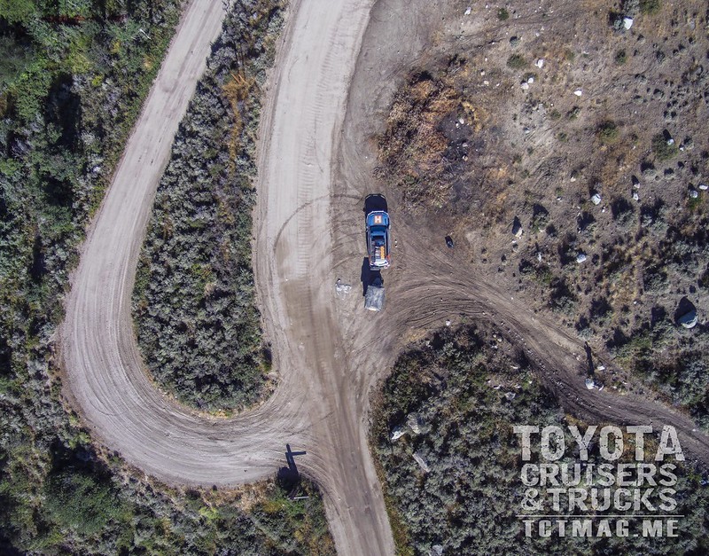
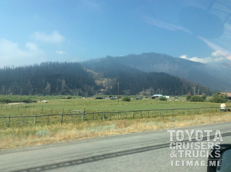
The route from Pinedale to Jackson Wyoming, where Teton National Park begins is fairly uneventful pavement. Until, of course, we reached the area of the Lava Mountain Fire just outside of Dubois, WY. Although the fire was over 90% contained when we passed through, the burned mountains were clearly visible, and we even saw smoke still rising from the hills. That fire was caused by lightning and burned over 16,000 acres. Just another reminder to always be very safe with campfires in the backcountry.
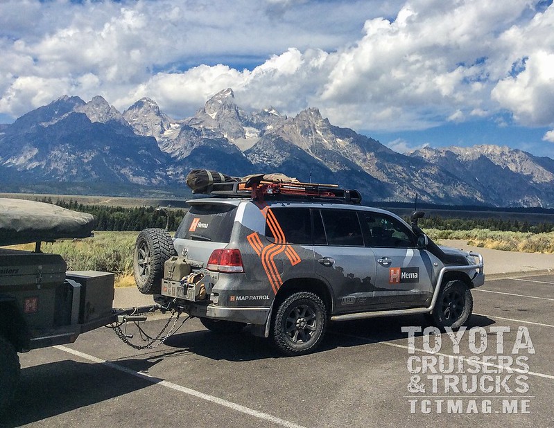
Our family had never been to Grand Teton or Yellowstone national parks. The fact that we were scheduled to burn through both parks in one day (during the middle of summer) did not have us very excited. For the un-initiated, Grand Teton sees over 2.5million visitors per year, and Yellowstone hosts over 3 million. Almost all of those visits come during the summer season (June-August), so it's not exactly the best time to explore these amazing parks. 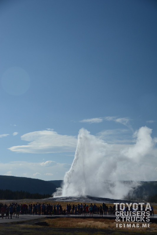
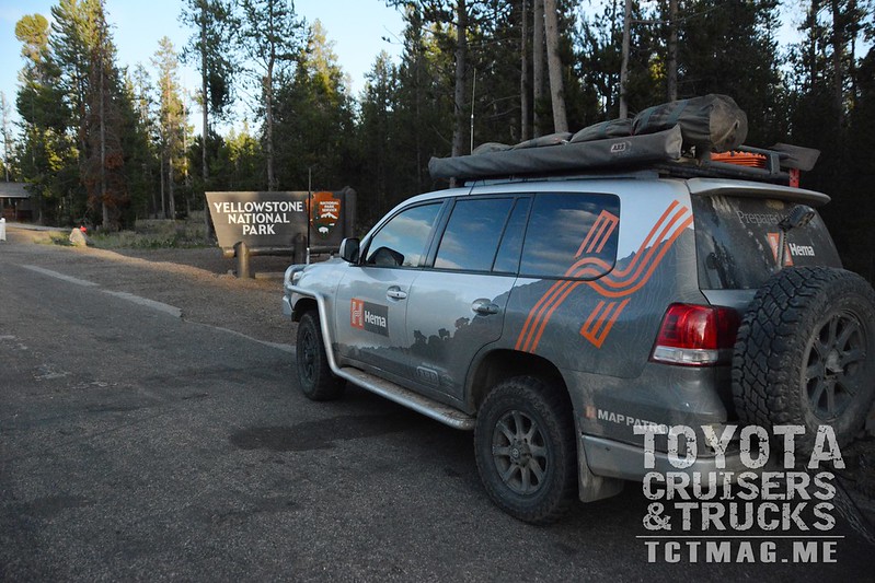
Still, we managed to fight the traffic through bothparks and arrive at Old Faithful for a 6 pm showing. Another major traffic jam leading out of Yellowstone caused us to arrive at our campground on Henry's Lake, Idaho just after dark. It was a gorgeous day of exploring but was very long.
Day 6: Now THIS is Exploring!
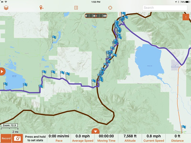
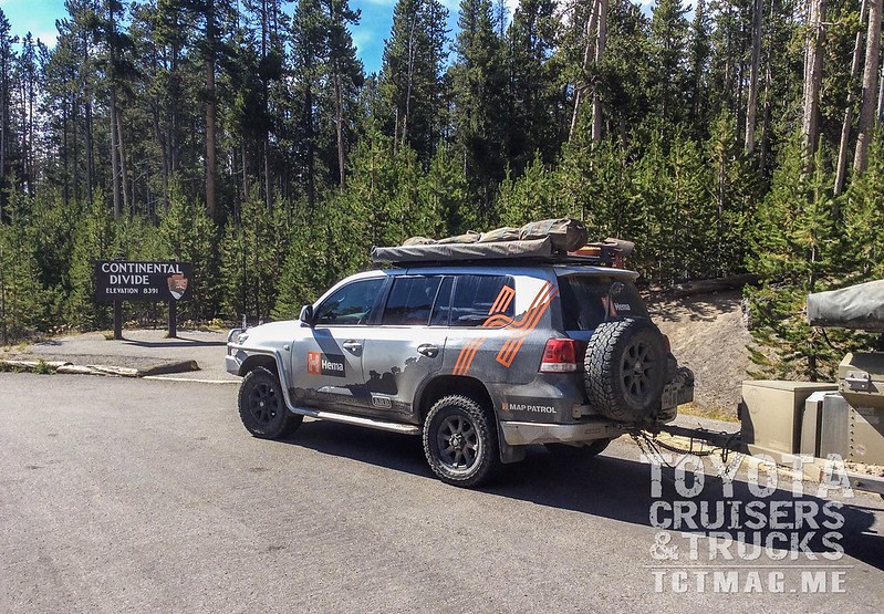
During our brief stay at Henry's Lake, and after a full day of pavement through the National Parks, Angie and I decided to find some really great areas to explore along the Idaho / Montana border. With our trusty Benchmark Atlas on the picnic table by lantern light, we found just the ticket. Only a couple of miles north of our campground, a small road climbed into the hills and along the Continental Divide. I mean RIGHT along the divide. Heretofore we had crisscrossed the divide dozens of times, but this short 10-mile section of amazing forest road traversed the actual divide. In this area the CD is also the border between Idaho & Montana, so every time Brenden asked which state we were in, he got a different answer. It was quite confusing for a six year old.
This little route, known mostly as NF-056, provided everything an overland or off-road explorer is looking for: Complete solitude, challenging terrain that's not dangerous, amazing views, and that perfect feeling of discovery. Also, of course, we found more cows. The days of traversing vast areas of Wyoming and fighting crowds and traffic in the National Parks completely paid off. We emerged from this little trail right on the Continental Divide at Red Rock Pass, then pressed West.
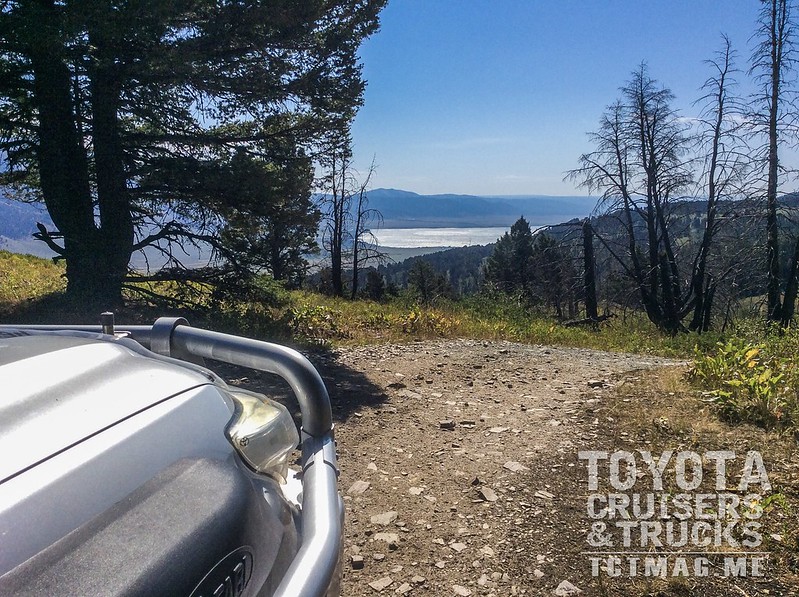
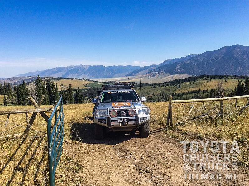
The next three hours or so were spent traversing first Red Rock Lakes National Wildlife Refuge, then past Lima Reservoir toward the blink-and-you-miss-it Monida, Montana. The ridge of the CD to our south beckoned along the 65+ miles of spirited, dusty driving. A few miles of interstate took us to our next jumping off point, where we once again pointed the Map Patrol 200 Series west into the hills.
We arrived at an intersection after passing through a very nice canyon along Big Sheep Creek. During our planning, we chose this spot as one of the last chances to 'touch' the divide before our portion of the Expedition was completed, and now it was decision time. The children were content enough in their car seats, the little one was about to nap, and we had a little extra time for once. We chose to push south and touch the divide at Bannack Pass.
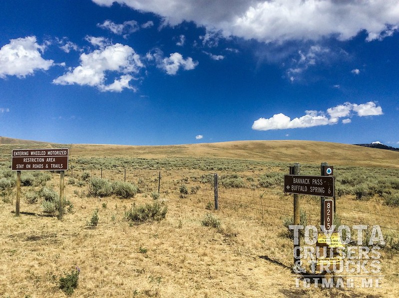
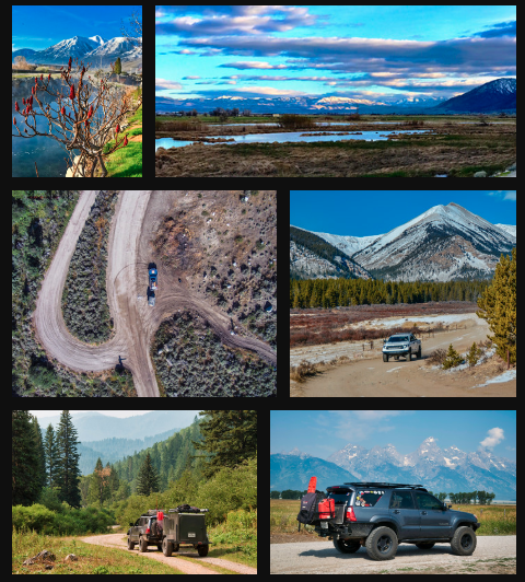
Luckily the weather cooperated since the trail, while not terribly difficult, would have been nearly impassible if it were raining. The ~12-mile round trip added a little over an hour to our day's journey but was worth it. In this area of southern Montana, you get the feeling that you're alone, and wouldn't be surprised to see a covered wagon around the next corner.
--Day6-BannackPass--
After the side trip, we continued north along Big Sheep Back Country Byway in Beaverhead National Forest. This long, quick section of dirt once served as the freight road between Corrine, UT and Bannack, MT. Today it's ranchland as far as the eye can see. Day 6 ended near Dillon, MT for more R&R before our final push to Butte, MT.
Day 7: Our Adventure comes to an end.
I know the title is six days on Map Patrol. That was intentional even though we technically were on dirt (mostly) for seven days. Our last day ended up being a half-day. On the highway, it only takes about an hour to drive from Dillon to Butte, however that wouldn't suit a Map Patrol - so we found another fun little scenic byway to traverse. Pioneer Mountains Scenic Byway is a paved section that passes through Beaverhead National Forest from just south of Polaris, MT up to Wise River, MT. We also managed to find a little dirt strip to explore, followed by a short hike to Coolidge, MT - an old mining ghost town named after President Coolidge. This great track and hike were the perfect way to complete our portion of the expedition. It brought us to Divide, MT and the highway just south of Butte.
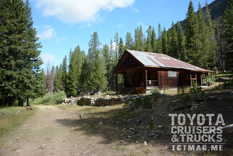
We aired up the Land Cruiser for the last time, turned on to the interstate, and a couple of hours later arrived at the dropoff point in Bozeman, Montana. Six (and a half) days on Map Patrol, the Williams Family not only survived but also learned about the best (and worst) parts of mapping routes that thousands of explorers would be able to enjoy.
While we're excited about the next amazing mapping journey, hopefully, the pace will be a bit more...leisurely.
To get your copy of the
Winter 2017 Issue:


